
Local guide · By MediaFx
Rangareddy District: A Pillar of Telangana's Rural Economy
Rangareddy District, established on 15th August 1978, was formed by carving out parts of Hyderabad Urban Taluk and merging rural and urban areas from the former Hyderabad District. It serves as the rural hinterland for Hyderabad City, supplying raw materials, agricultural produce, and finished goods to the commercial hub. The district is named after late K.V.
Ranga Reddy, a former Deputy Chief Minister of Andhra Pradesh, and is located in the central part of the Deccan Plateau. Rangareddy spans 5,031 square kilometers with a population of 2,446,265, situated at an altitude of 544 meters. The climate is tropical wet and dry, with summer temperatures reaching up to 40°C and winter temperatures dropping to 13.8°C.
Annual rainfall is 89cm, concentrated between June and September. The district's telephone codes include 91-, 040, 08413, 08414, and 08417, and it is part of Telangana state.
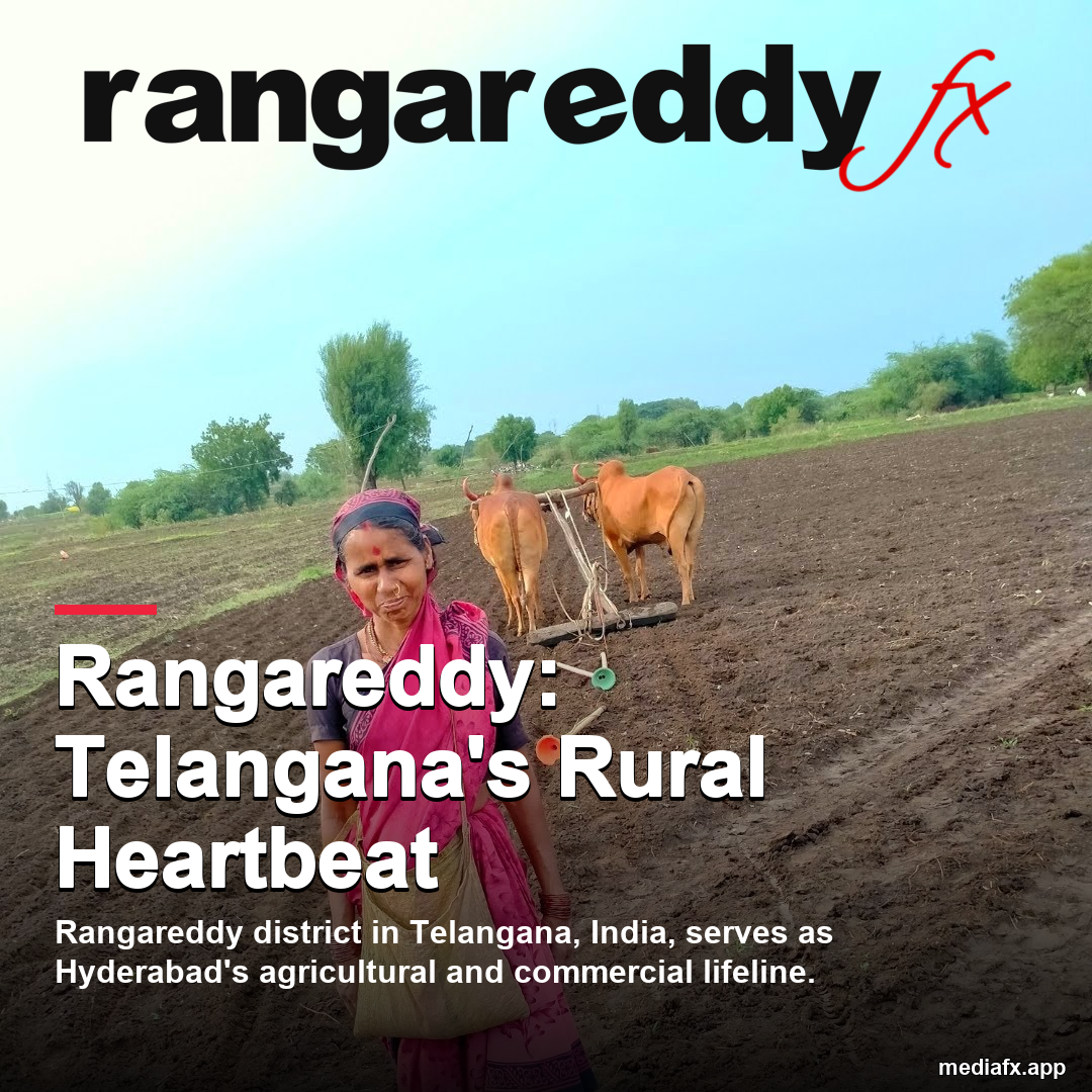
AI-assisted editorial cover; not documentary evidence.
Sources & useful links
No suitable video verified for this guide.
Source-checked guide. Review the original source for changes.
About MediaFx, authors & editorial standards · Contact the editorial desk